Information about our properties
Our land is for everyone to use. Feel free to take a walk, hike, bike, fish, or ride horses* on our properties.
*Horses are permitted on dry properties, not wetlands
Restricted activities on KLCT properties:
-Our property on Champlin Rd. (off Chesnut Hill Rd.) is open to foot traffic only. This is a private driveway. Please do not drive down that road.
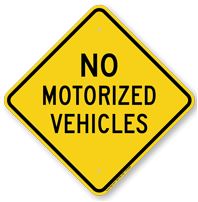
- -Using a motor vehicle (car, truck, ATV)
- -Hunting
-Our property on Champlin Rd. (off Chesnut Hill Rd.) is open to foot traffic only. This is a private driveway. Please do not drive down that road.
|
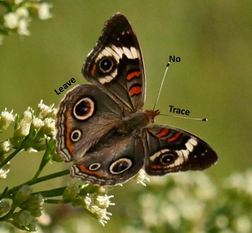
Please mind the "Leave No Trace" movement.
|
|
|
If you would like more information about our open space properties including grantors, locations, and land acreage, click on the links below.
|
Facts: (From 2017 Data)
The KLCT has:
|
|
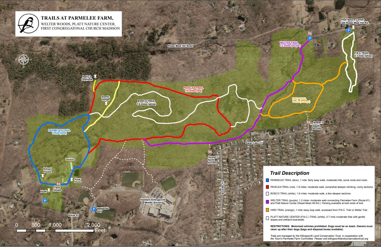
Parmelee Farm
The trails are Parmelee Farm are probably the most well known and used trails that we have in town. The trails connect several other properties including: Welter Woods, PNC, and the First Congregational Church/Madison property. Click here for a PDF downloadable map. The trails are marked and maintained however if you see a problem like a downed tree, please let us know. For more information about the trails at Parmelee Farm, click the link here. 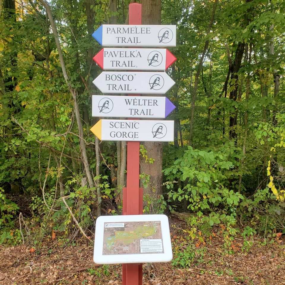
|
Geocaching at Parmelee Farm
Have you ever been geocaching before? Geocaching is basically modern day treasure hunting using GPS devices. You can enter the coordinates on your smartphone or GPS device and search for caches along the Pavelka Trail. You can log in to geocaching.com and search for caches in the area or search by KLCT. Coordinates:
Rules: Take something, leave something, and leave the cache like you found it. Sign the log book as well to tell everyone that you found the caches. |
A flora and fauna inventory was started John Himmelman and Bruce Dodson at the farm. Click here to see what plants and birds were observed at the Parmelee Farm. You can also submit other plants and animals that you observed.